AT Photo
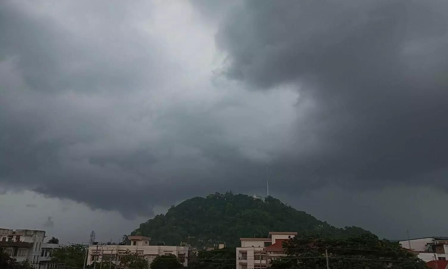
Guwahati, May 30: Under the influence of a trough in westerlies and southwesterly winds from Bay of Bengal to northeast India at lower tropospheric levels isolated heavy rainfall is likely to take place over Assam-Meghalaya till June 2, 2022.
Due to the influence of monsoonal westerly winds from the Arabian Sea over south peninsular India and a cyclonic circulation over Kerala and its neighbourhood several areas in Southern India will experience rainfall, thunderstorm and lightning.
Accordingly, the India Meteorological Department has placed many of the East and Northeast states under a 'yellow alert', advising its residents to be updated on the weather situation.
Due to a trough in westerlies and southwesterly winds from Bay of Bengal to northeast India at lower tropospheric levels:
1. Scattered to fairly widespread light/moderate rainfall is very likely over Northeast India and Sub Himalayan West Bengal & Sikkim and isolated to scattered rainfall with isolated thunderstorm/lightning/gusty winds over Bihar, Jharkhand, Odisha and Gangetic West Bengal next 5 days.
2. Isolated heavy rainfall also likely over Sub-Himalayan West Bengal & Sikkim during 30th May 1st June; over Assam-Meghalaya during 29th May-02nd June; over Arunachal Pradesh and Nagaland, Manipur, Mizoram & Tripura on 01st & 02nd June, 2022.
Earlier, the Regional Meteorological Department, Guwahati on Monday said that thunderstorms with lightning and light to moderate rain are very likely in parts of Kamrup Metro district during next 3 hours.
